
Let’s help you
plan your journey
Explore responsibly, discover offbeat places, guided by locals, rooted in culture.
Let’s help you
plan your journey
Explore responsibly, discover offbeat places, guided by locals, rooted in culture.
Soumen Bhowmick
Soumen Bhowmick founded Pollen Dots in 2024 to plan journeys across India and Bhutan. He works in the Commercial Department of Indian Railways, where he has been since 2000. From 2016 to 2020 he was Head of Business Development and Partnerships at ScoutMyTrip, a community-driven road trip planning platform. There he built a nationwide network of local Scouts who helped travellers on the road, and grew the Road Trippers Club to 16 Indian cities. As a core member of Devil On Wheels, he helped travellers plan Himalayan trips and started Spreading Smiles. He has driven solo from Arunachal to Goa and from Himachal to Karnataka, and has run his own caravan for more than ten years. His photographs have won national and international salon awards, and his writing has appeared in Outlook Traveller.
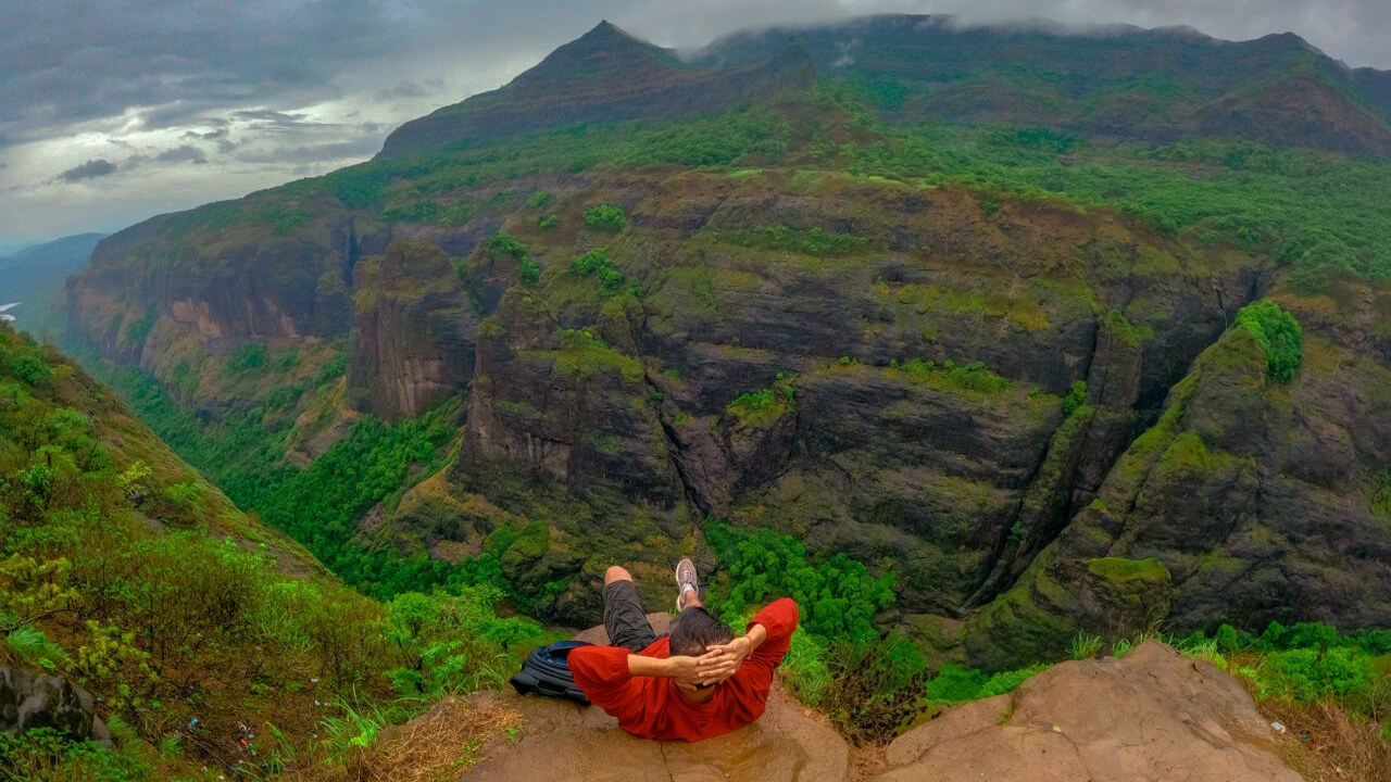
The Western Ghats are a long chain of hills down the west side of India. They run for about sixteen hundred kilometres, which is too far to see in one trip. The hills are split into seven groups of protected forests, and picking one group is the first thing to do when you plan a trip to the Western Ghats.
The hills pass through six states. Gujarat, Maharashtra, Goa, Karnataka, Kerala and Tamil Nadu. A short guide to getting ready for a trip in India covers the papers and bookings you need before you leave home.
Pick one group of hills and one season. Those two choices settle most of the rest.
Nobody drives the full range in one trip. People pick a district, stay four or five days, and walk from there.
The nearest airports are Mangaluru for the Karnataka hills, Kochi for Kerala, Coimbatore for the Nilgiris and Pune for the Maharashtra end. From the airport it is a three to five hour drive up into the hills on most routes.
It is a group of thirty-nine protected forests, listed by UNESCO in 2012. They are not one park. They are thirty-nine separate places, put into seven groups.
The seven groups have names. Each one covers a set of parks and forests.
The hills run through six states. The thirty-nine listed forests are in four of them: Kerala, Karnataka, Tamil Nadu and Maharashtra.
Gujarat and Goa have Western Ghats hills. They do not have any of the thirty-nine listed forests. So a forest can be in the Western Ghats without being part of the World Heritage site.
Three wide gaps break the chain. They are called the Palghat gap, the Goa gap and the Sencottah gap. Animals and plants on either side of a gap are often different. The Palghat gap is the widest of the three, at about thirty kilometres across.
October to February. The rain has stopped, the trails are open and the air is clear.
Yes, for most forest treks. The state forest department gives the permit, not a travel agent.
In Karnataka you need a permit for Kudremukh National Park and for the trails inside Someshwara Wildlife Sanctuary. Only a set number of people are allowed each day. Weekend slots fill early.
On the Kudremukh trek a guide goes with every group of about ten people. You cannot camp inside the park, even with your own tent.
Not very high, but high enough to be cold at night. The highest peak is Anamudi in Kerala, at 2,695 metres.
In Karnataka the highest is Mullayanagiri at 1,925 metres. Kudremukh is next at 1,894 metres.
That height makes a difference to what you pack. The coast below can be warm while a ridge at night is cold. Our seven day journey through coastal Karnataka and the Western Ghats moves between the two in one trip. Journeys Just for You does the same on your own dates.
One site, made of thirty-nine separate forests in seven groups. UNESCO listed it in 2012. The forests are in Kerala, Karnataka, Tamil Nadu and Maharashtra.
No. The hills run through Goa, but none of the thirty-nine listed forests is there. Goa's four sanctuaries are protected by the state instead.
Anamudi in Kerala, at 2,695 metres. It is the highest peak in India south of the Himalayas. Mullayanagiri at 1,925 metres is the highest in Karnataka.
Yes. These hills are much older, and they have been cut off from other forests for a very long time. Because of that, hundreds of plants and animals here live nowhere else in the world.
You can visit, but you often cannot walk. Waterfalls are full and the forest is green. Most high treks are shut, permits are stopped and hill roads slide in heavy rain.
The Palghat gap, the Goa gap and the Sencottah gap. They are low breaks in the chain. They split the hills into a northern, a middle and a southern part.